
Home / News & Announcements / Emergency mapping service in operation
Service
Emergency mapping service in operation
Customised post-disaster damage assessment maps and analyses are delivered within 3 hours of image acquisition.
Published: February 24, 2023
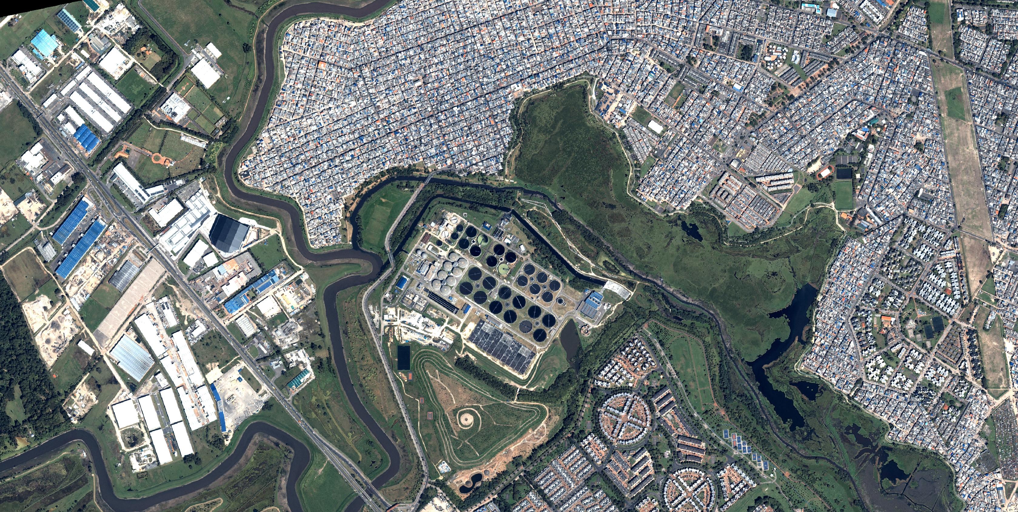
Our mapping service for emergency managers produces customised damage assessment maps and analyses within three hours of acquiring optical and SAR imagery.
The service is used for forest fires, humanitarian crises, border conflicts, hurricanes and storms, floods, volcanoes, oil spills and earthquakes.