
Home / Our Services / Maritime Situational Awareness
Services
Maritime Situational Awareness
Detection, tracking and mapping services for establishing situational awareness at sea.
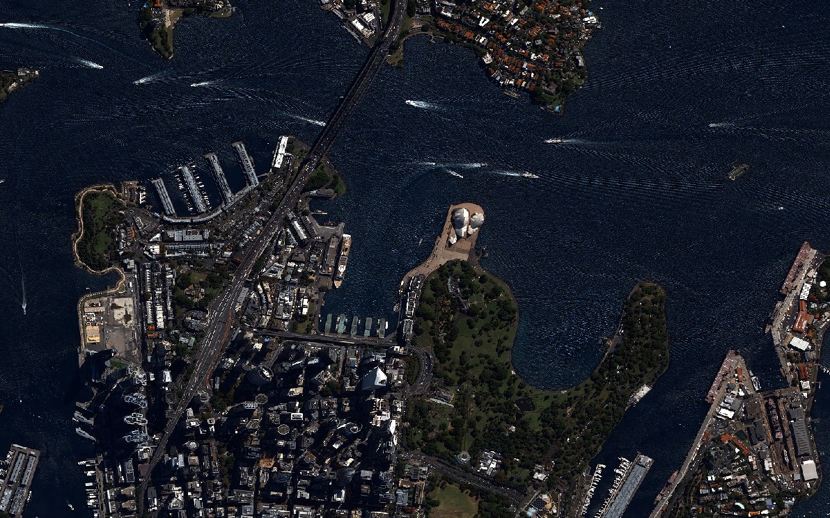
Maritime Situational Awareness: Continuous and Reliable Surveillance in Strategic Waters
Situational awareness on the high seas requires complete, real-time tracking of all activity in the area. High resolution optical and radar (SAR) satellite imagery provides direct operational data in critical areas beyond the range of coastal radar:
- Detection of Non-Reporting Vessels: Identifying suspicious vessels ("dark ships") that cross Exclusive Economic Zone (EEZ) boundaries and switch off their AIS transponder to avoid reporting their position.
- Vessel Route and Anomalous Behaviour Detection: Monitoring shipping lanes and identifying risky situations such as unauthorised route deviations or two vessels approaching each other more closely than necessary on the open sea (suspected illegal cargo/fuel transfer).
- Oil Spill Detection: Mapping the extent of leaks or waste water discharges from ships and accidental oil spills, day and night.
- Wind and Wave Maps: Analysing sea state from satellite data to produce wind speed, direction and wave height maps for operational planning.
These analyses provide fast and clear decision support both for monitoring maritime sovereignty and for preventing environmental pollution.
Maritime Surveillance Products
Vessel Detection
EEZ Violation
Route Analysis
Oil Spill
Wind and Wave Map
Anomalous Behaviour
Get in touch with us
for your image request.
Türkiye's image processing centre of excellence for GÖKTÜRK-1 satellite imagery — processing, distribution and intelligence production.