
Our Services
Provider of High Resolution Earth Observation Satellite Imagery and Products
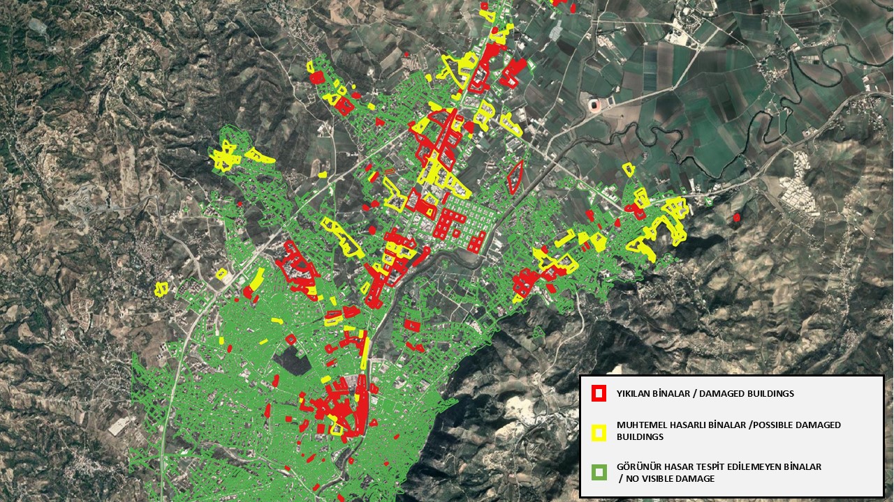
Emergency Mapping
In disaster and emergency management, customised maps and analyses are delivered in the shortest possible time following the acquisition of satellite and airborne imagery (Optical and SAR) for post-disaster damage assessment.
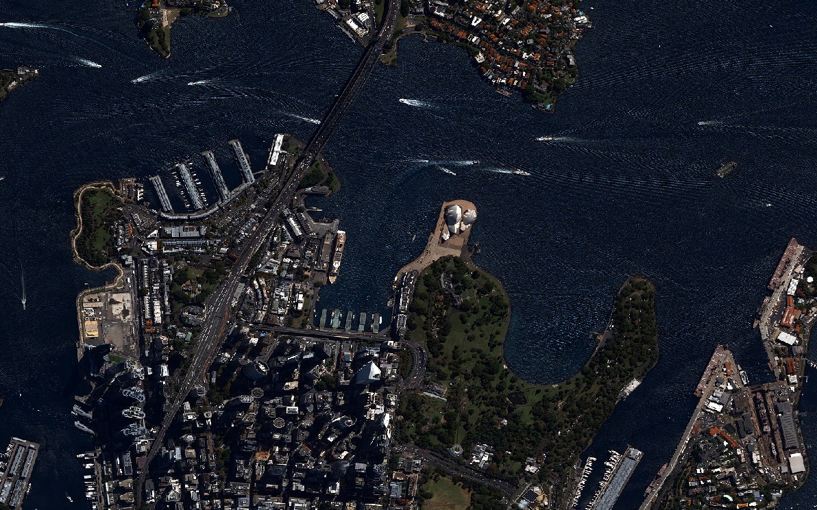
Maritime Situational Awareness
Detection, tracking and mapping services for establishing situational awareness at sea.
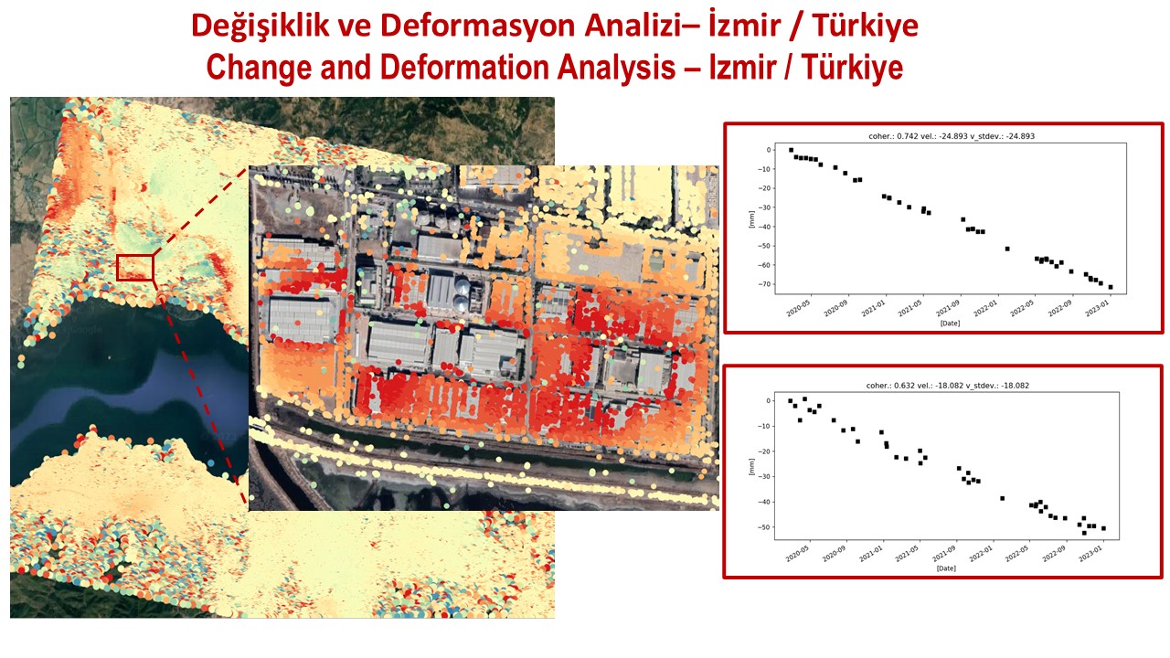
Change & Deformation Analysis
For environmental and urban planning management, performing change analyses in designated regions and high-precision monitoring of deformations in critical buildings and facilities using satellite optical and SAR imagery.
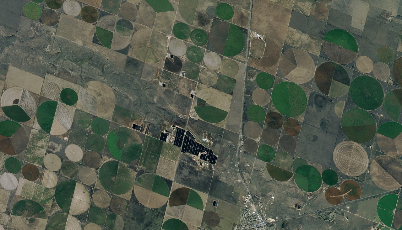
Agriculture & Food Security Management
Analyses for cultivation area, yield and risk management using a variety of sensors.
Get in touch with us
for your image request.
Türkiye's image processing centre of excellence for GÖKTÜRK-1 satellite imagery — processing, distribution and intelligence production.